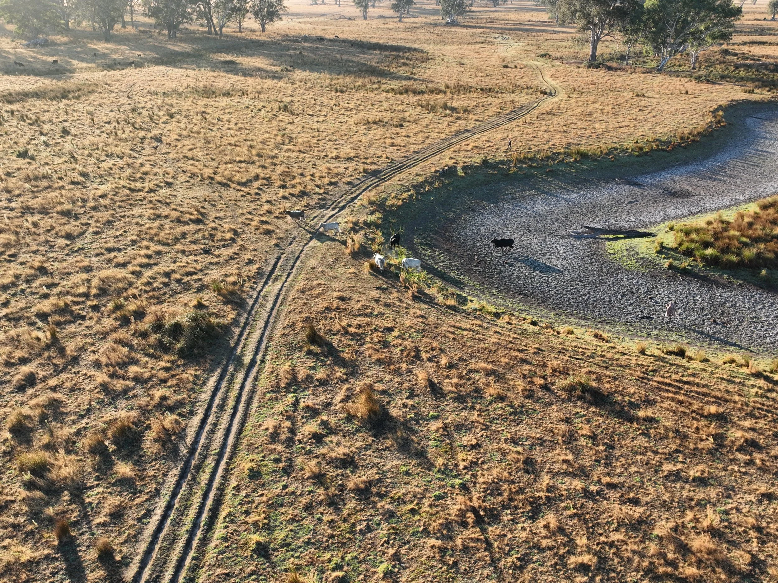
Rural Farm Project
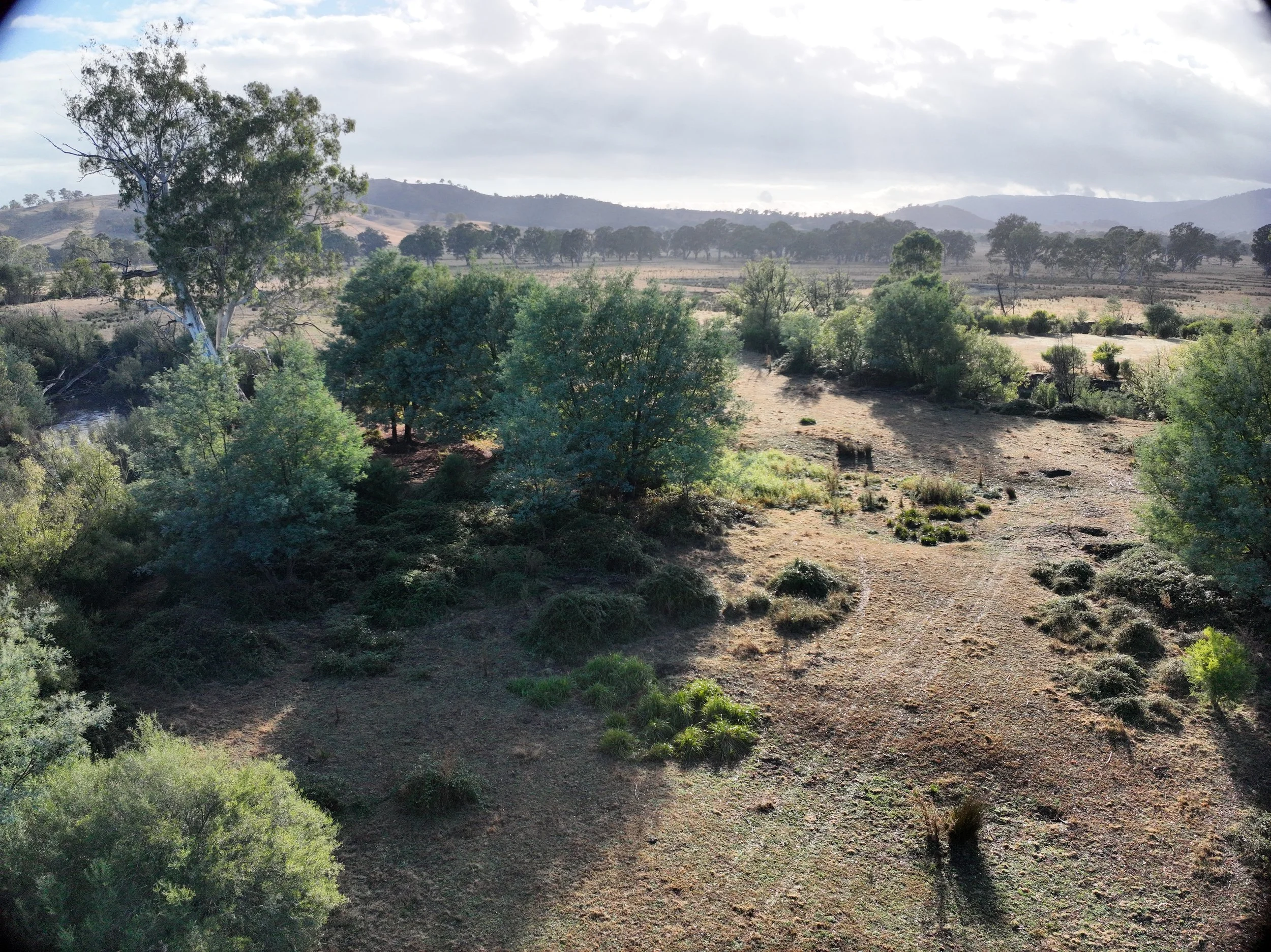
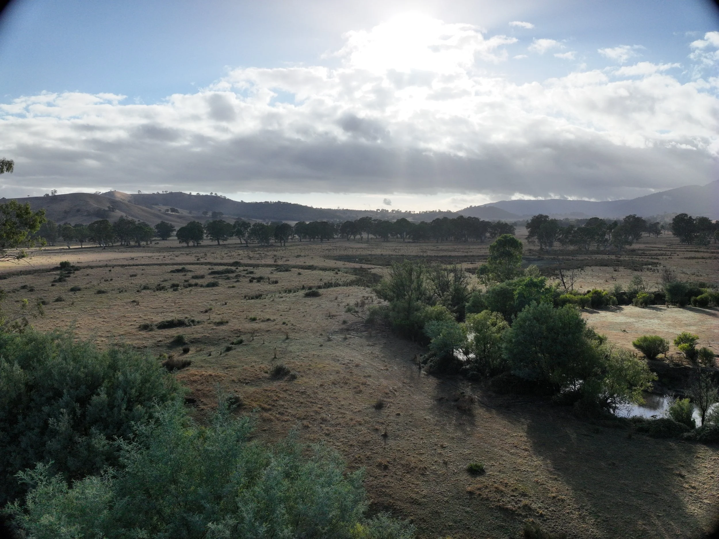
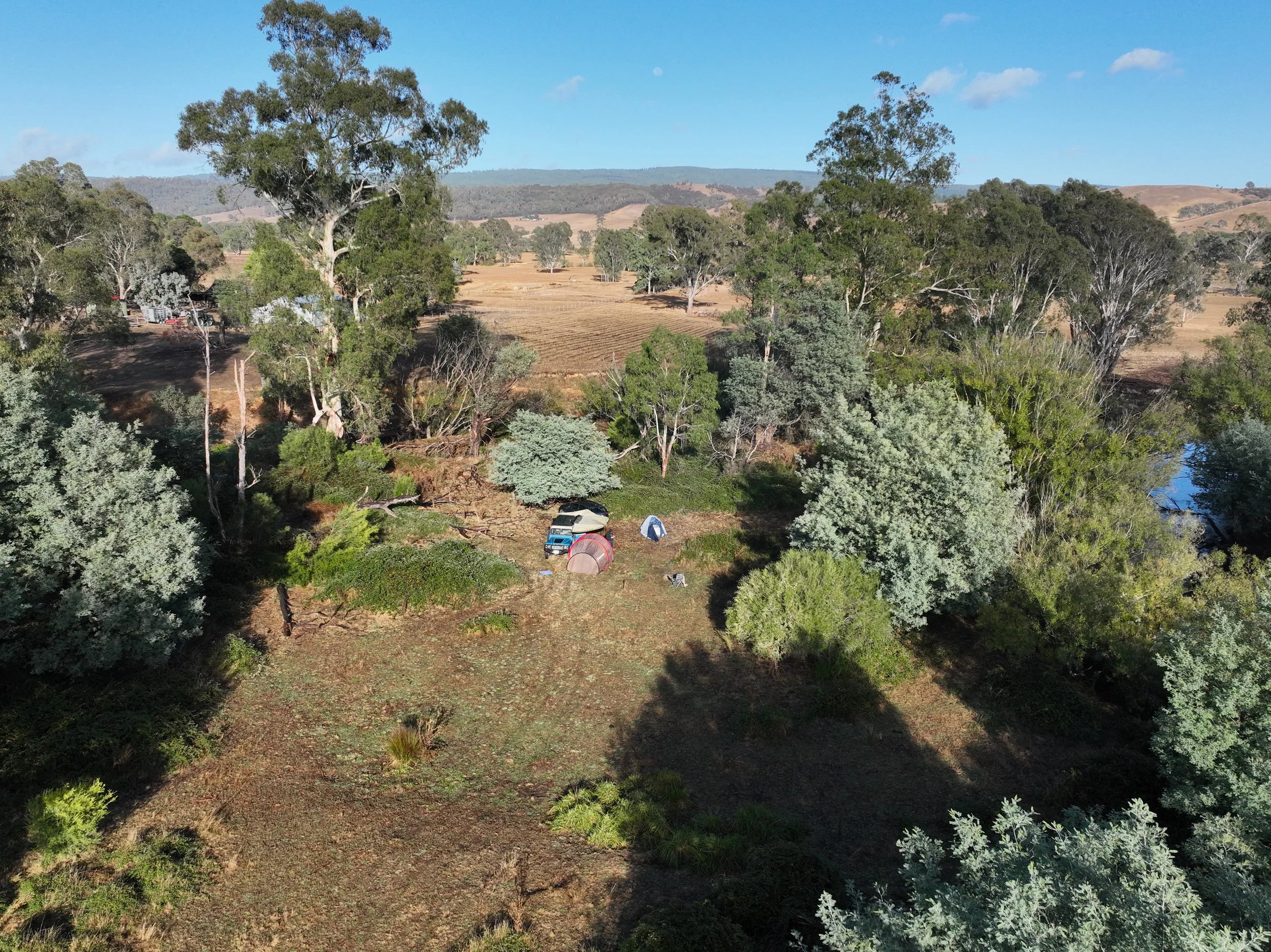
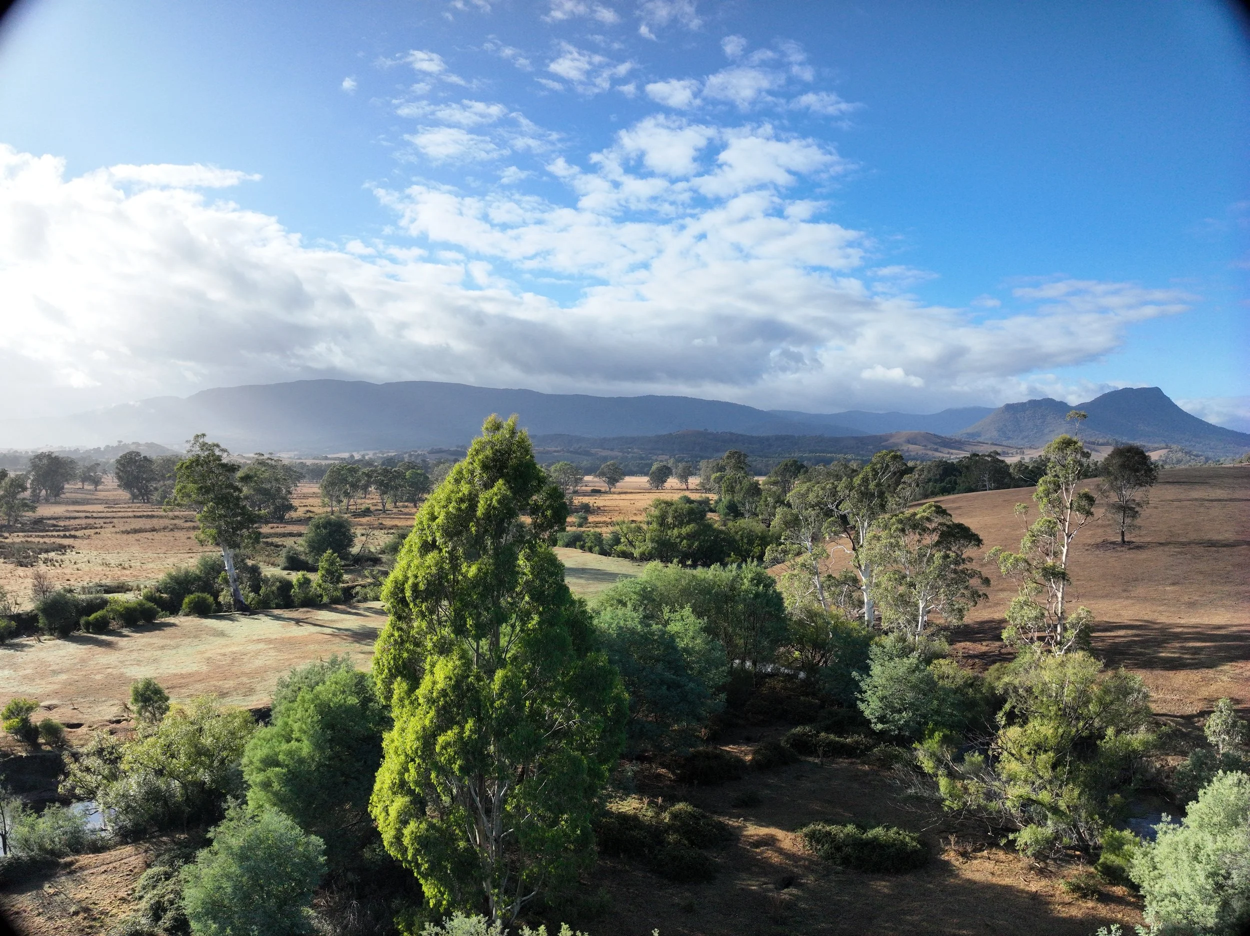
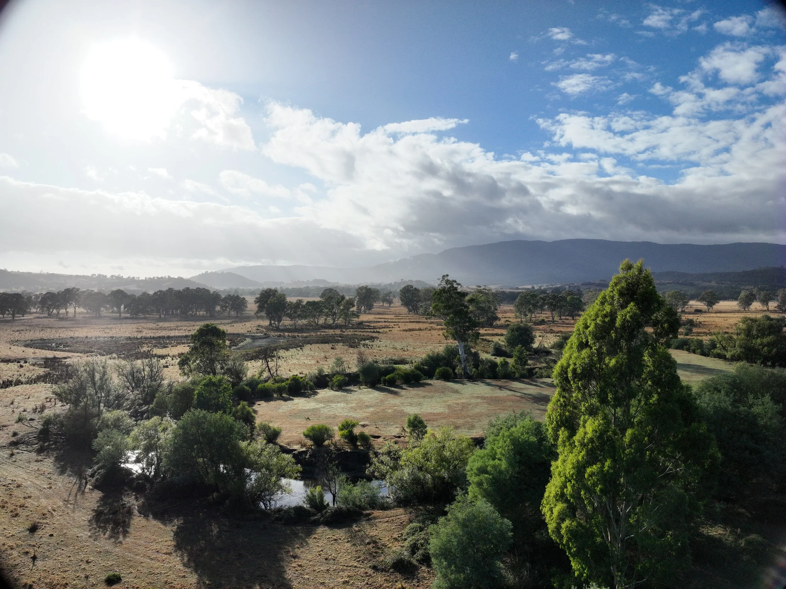
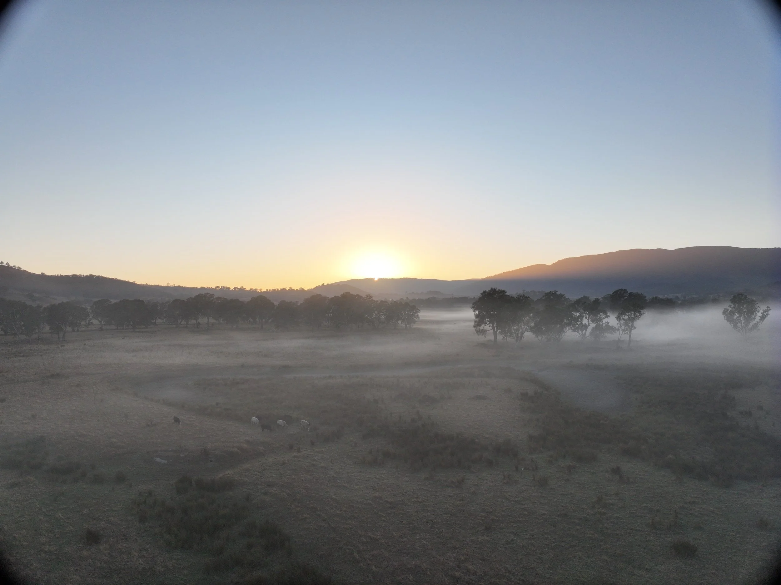
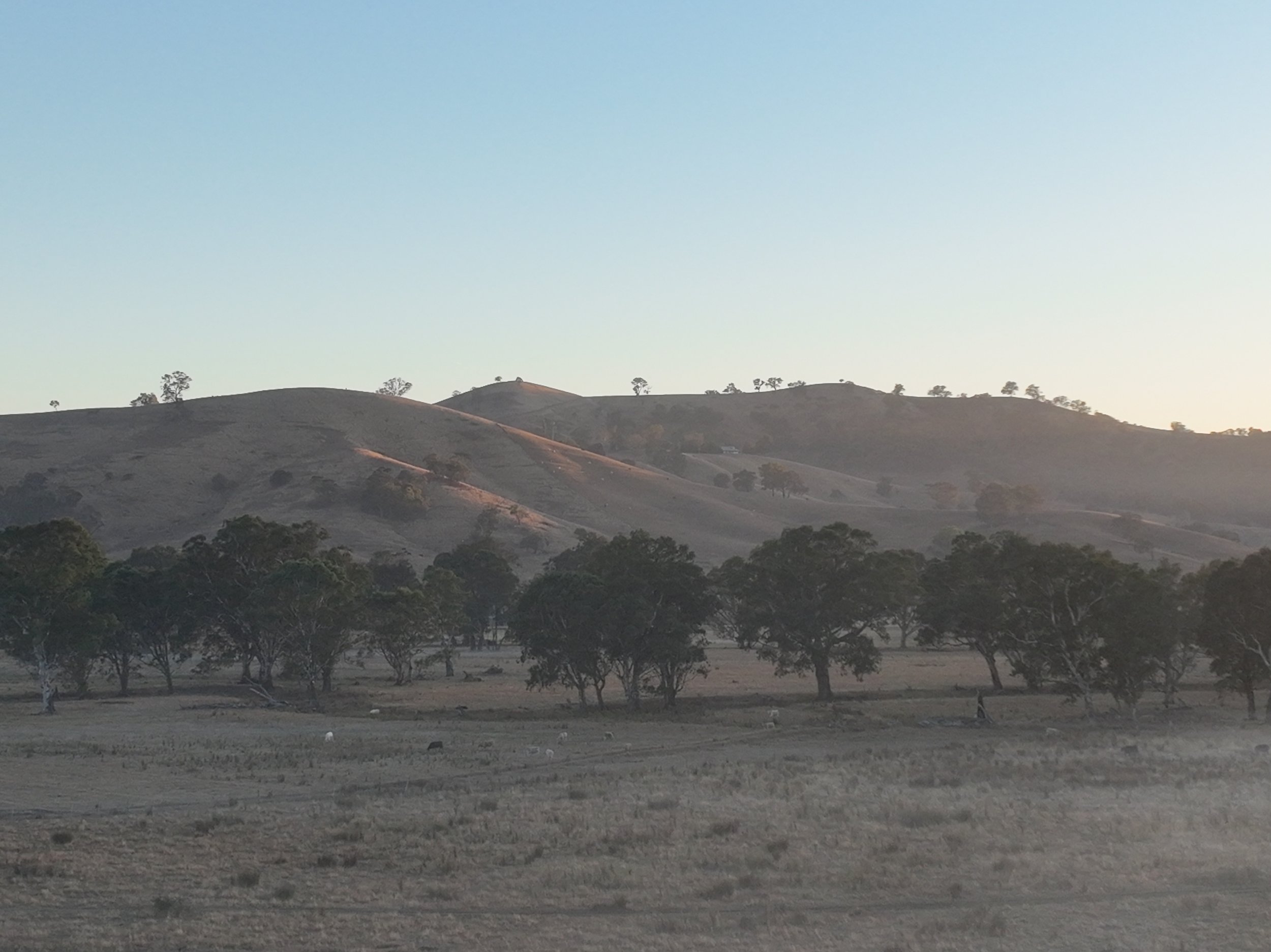
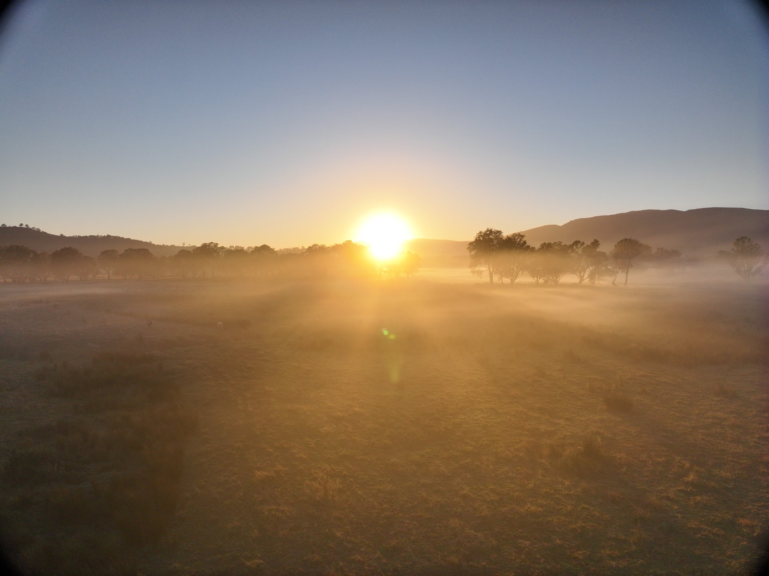
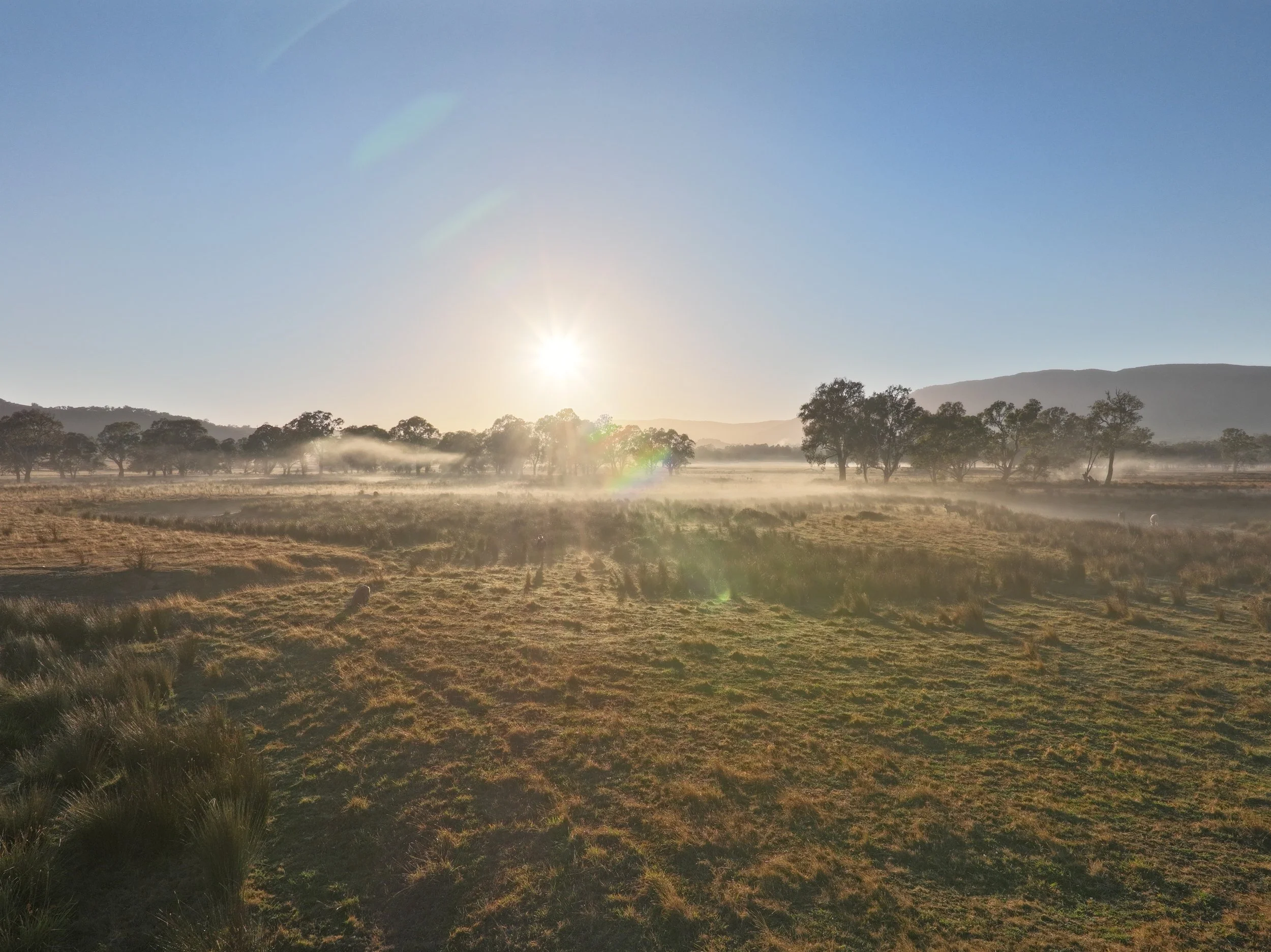
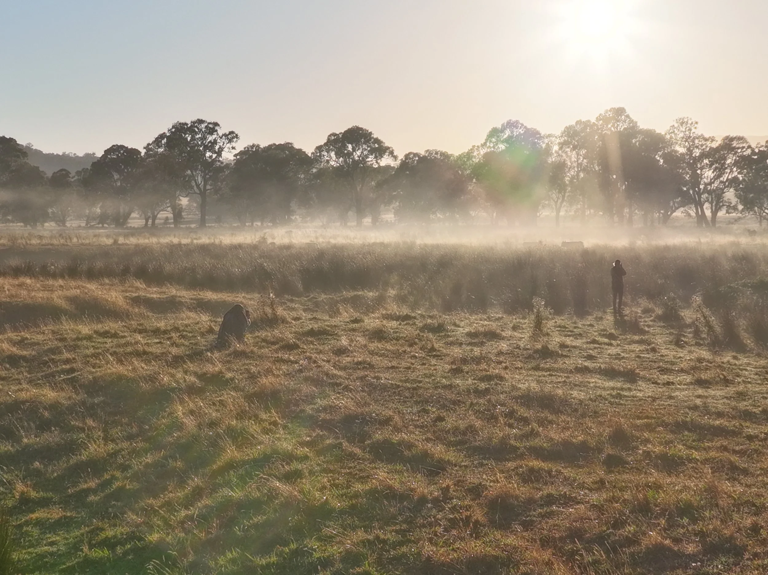
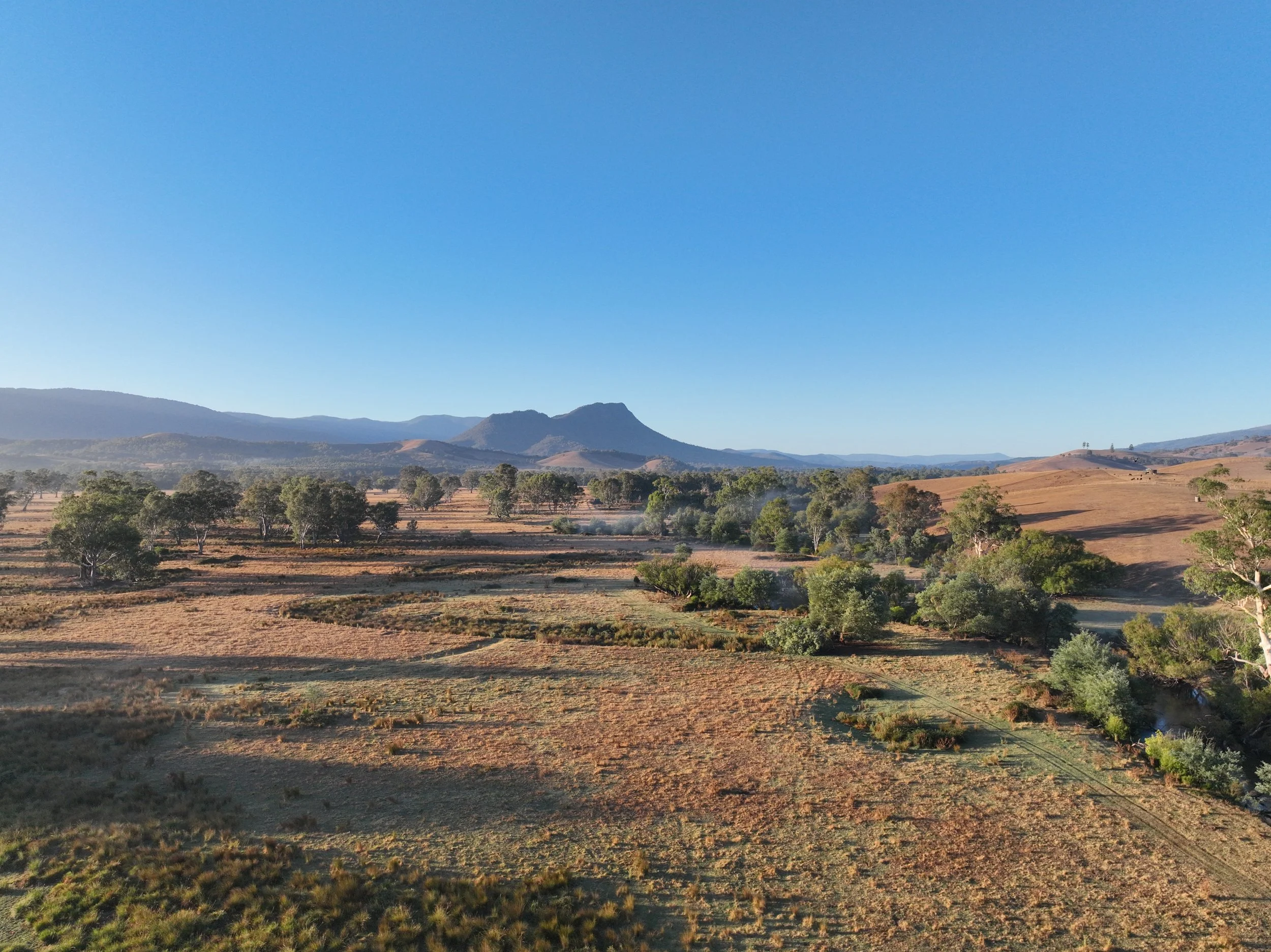
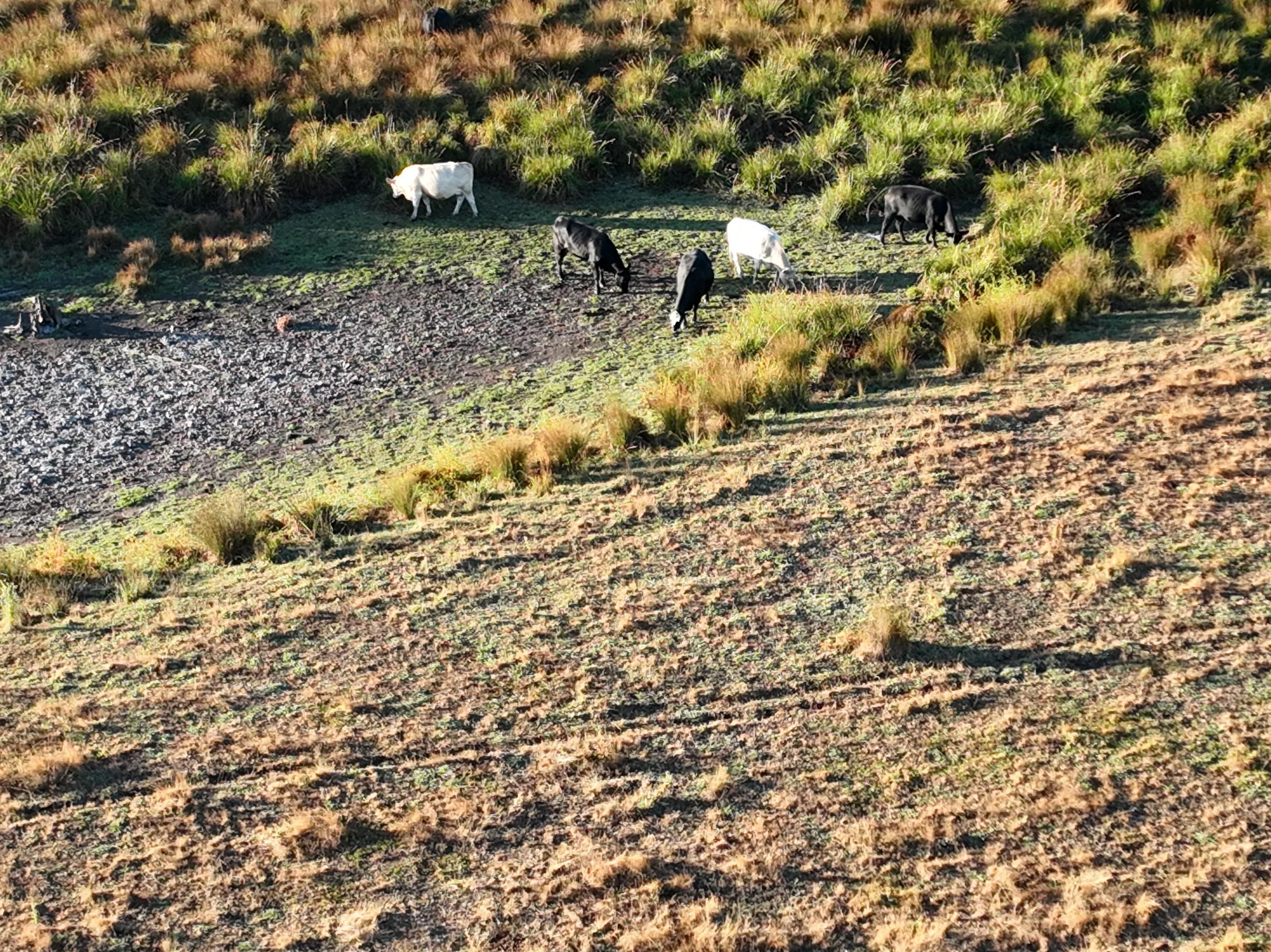
At Dingo Over Land, we recently had the chance to capture a breathtaking rural farm through aerial photography, videography, and photogrammetry. This project was all about showcasing the farm’s natural beauty, functional spaces, and potential for future development.
Here are some of the highlights of the project:
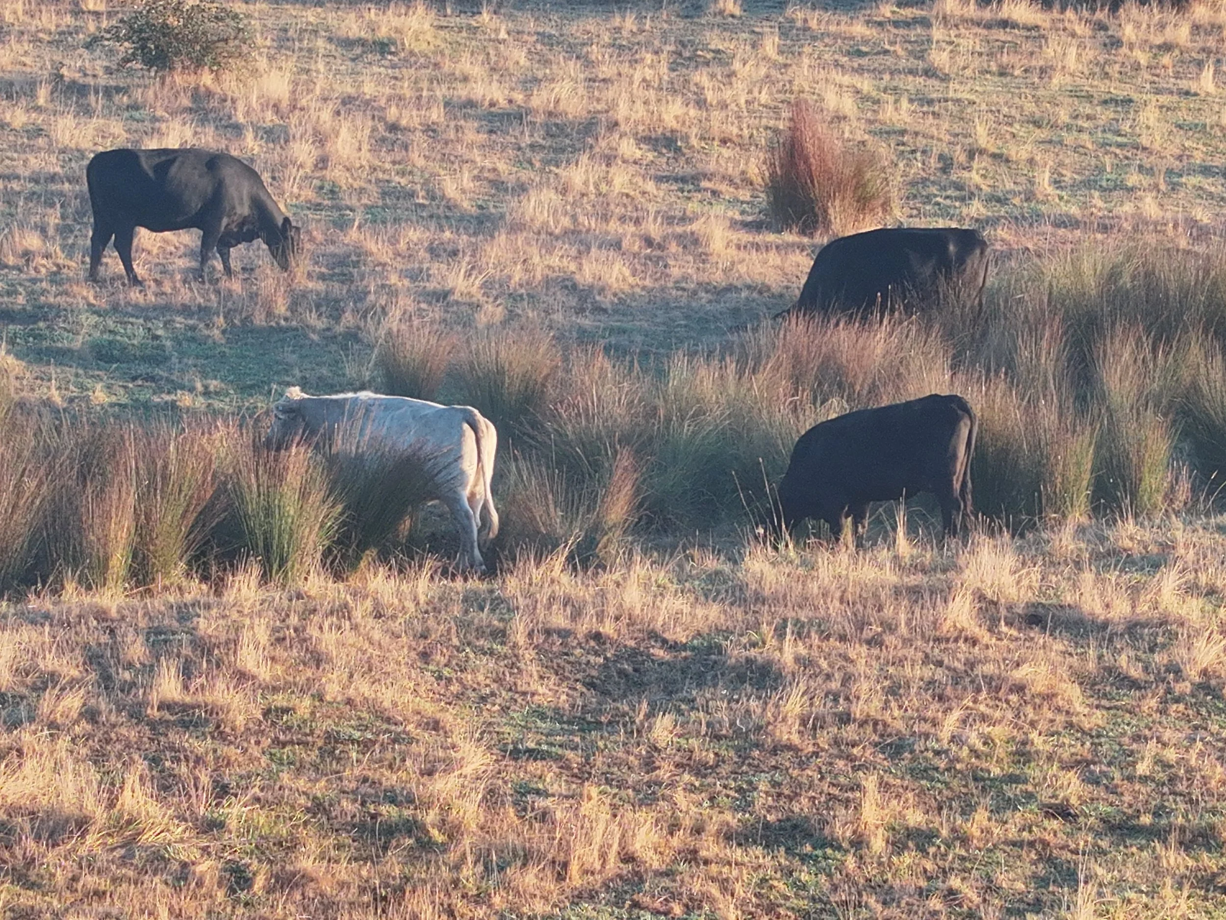
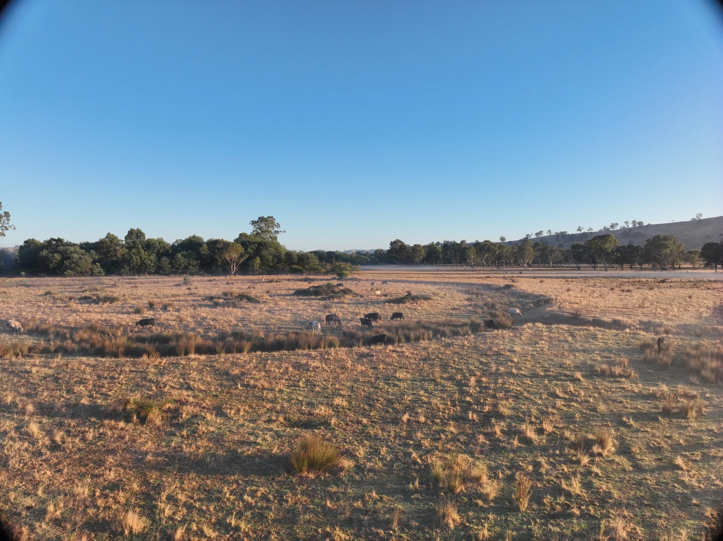
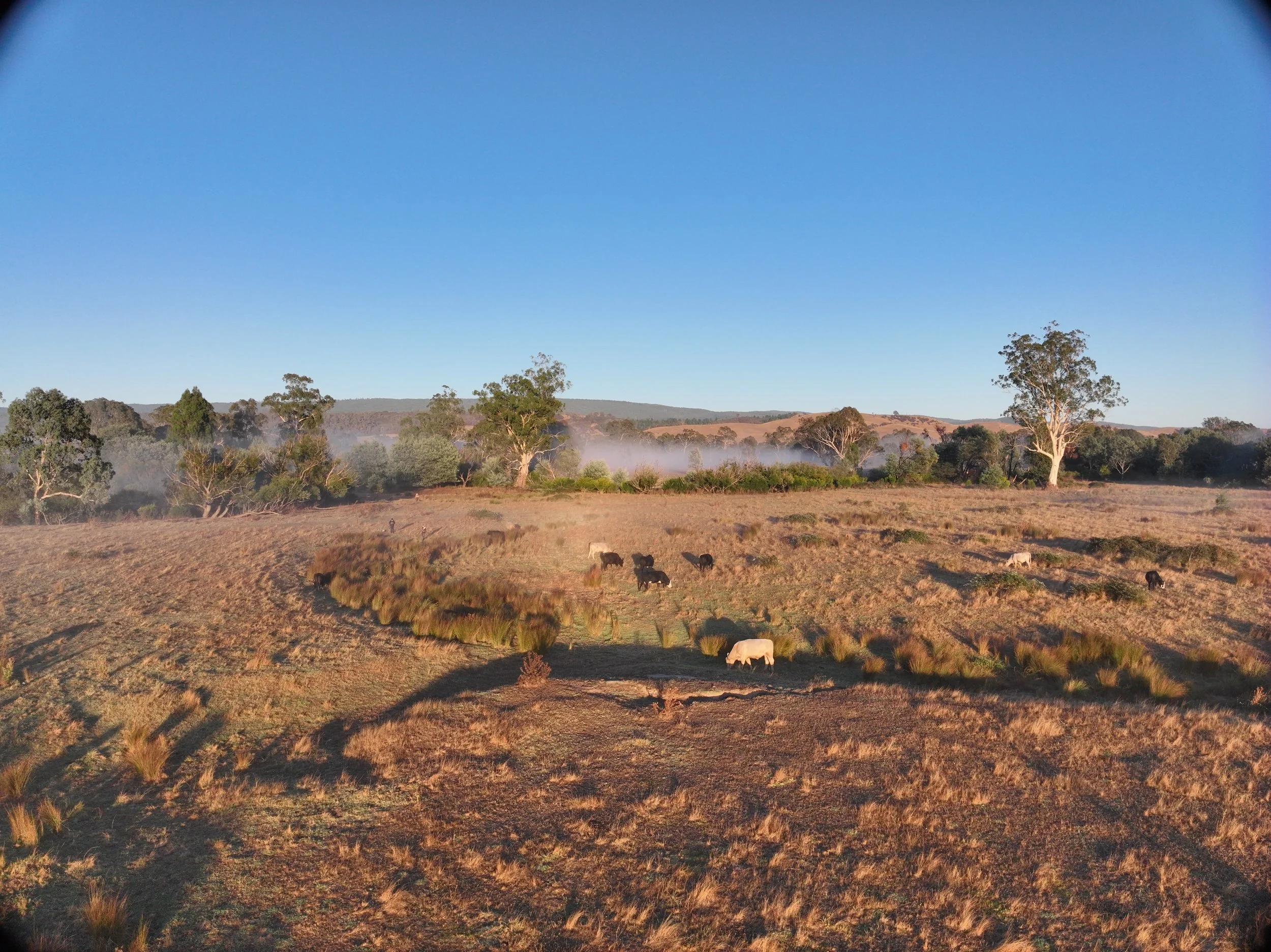
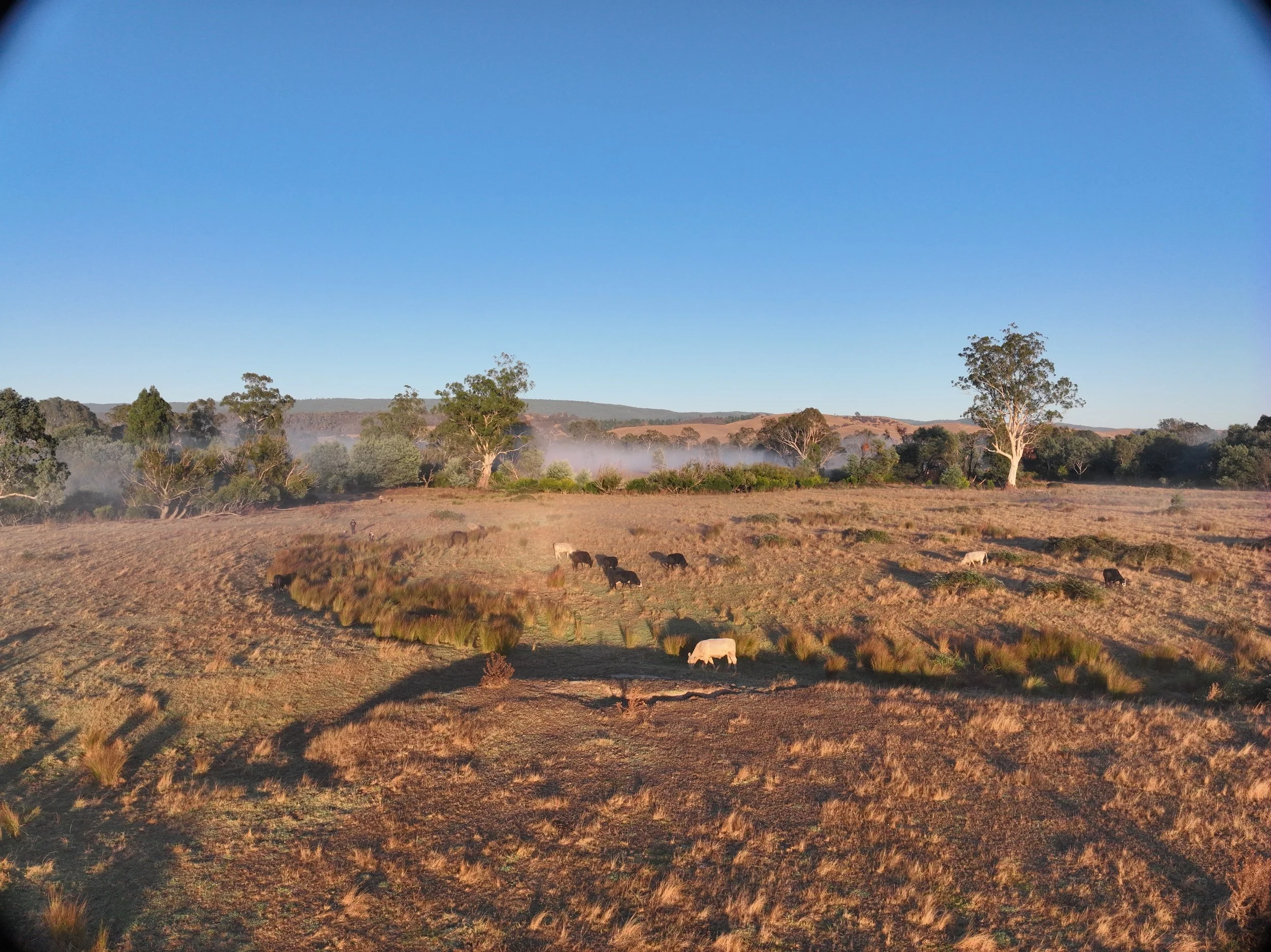
Location: A picturesque working farm with rolling pastures, river and potential camp spots.
Aerial Photography: High-resolution images that capture the vast landscape, key property features, and seasonal changes.
Aerial Videography: Smooth, cinematic footage that highlights the farm’s layout, accessibility, and unique charm.
Photogrammetry & 3D Mapping: Detailed terrain models that provide valuable insights for land use planning and development.
This project helped the farm owner market their property, assess land management strategies, and enhance their online presence with engaging visuals. Whether for real estate listings, agritourism promotion, or long-term planning, our imaging solutions provide the clarity and impact needed to make informed decisions.