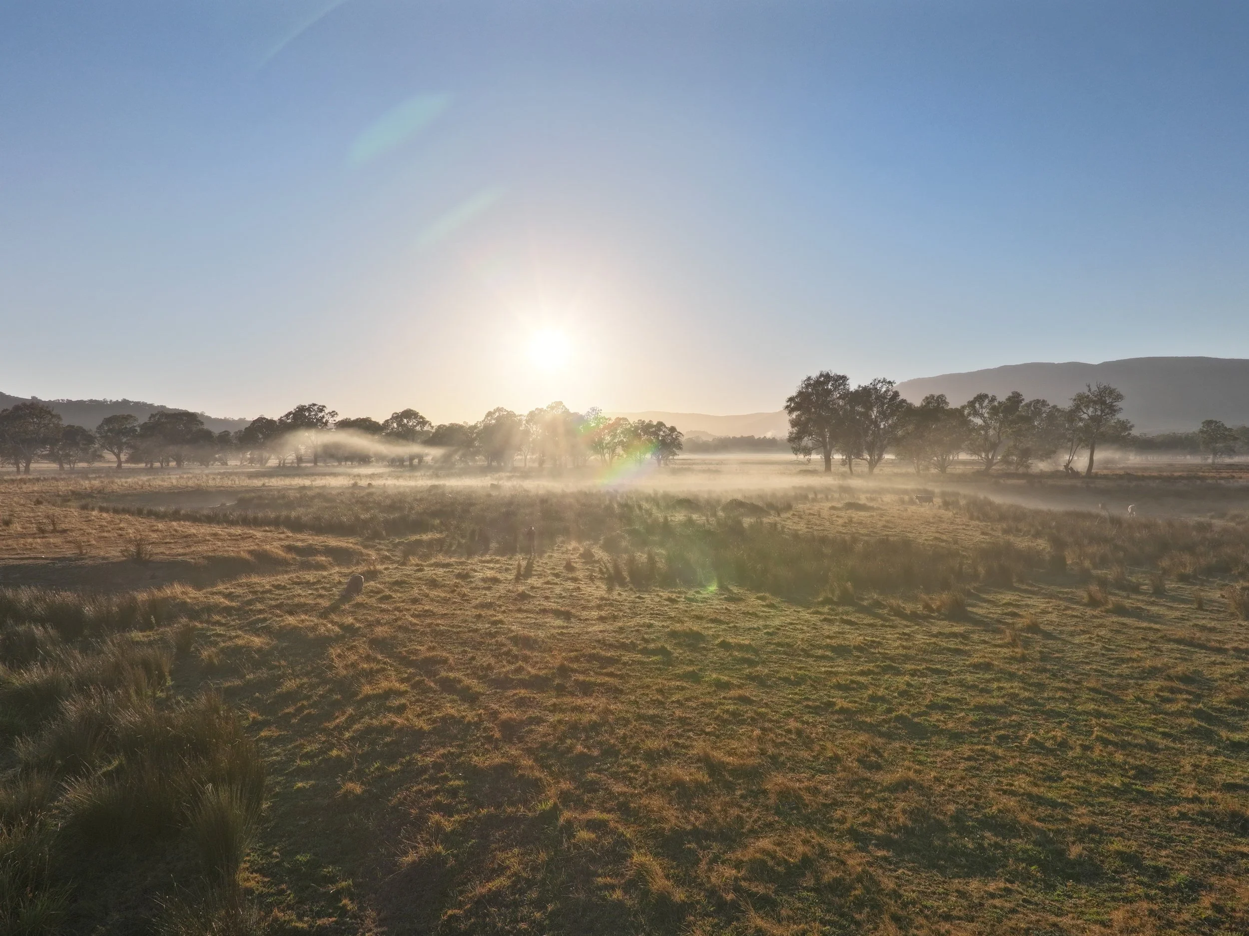
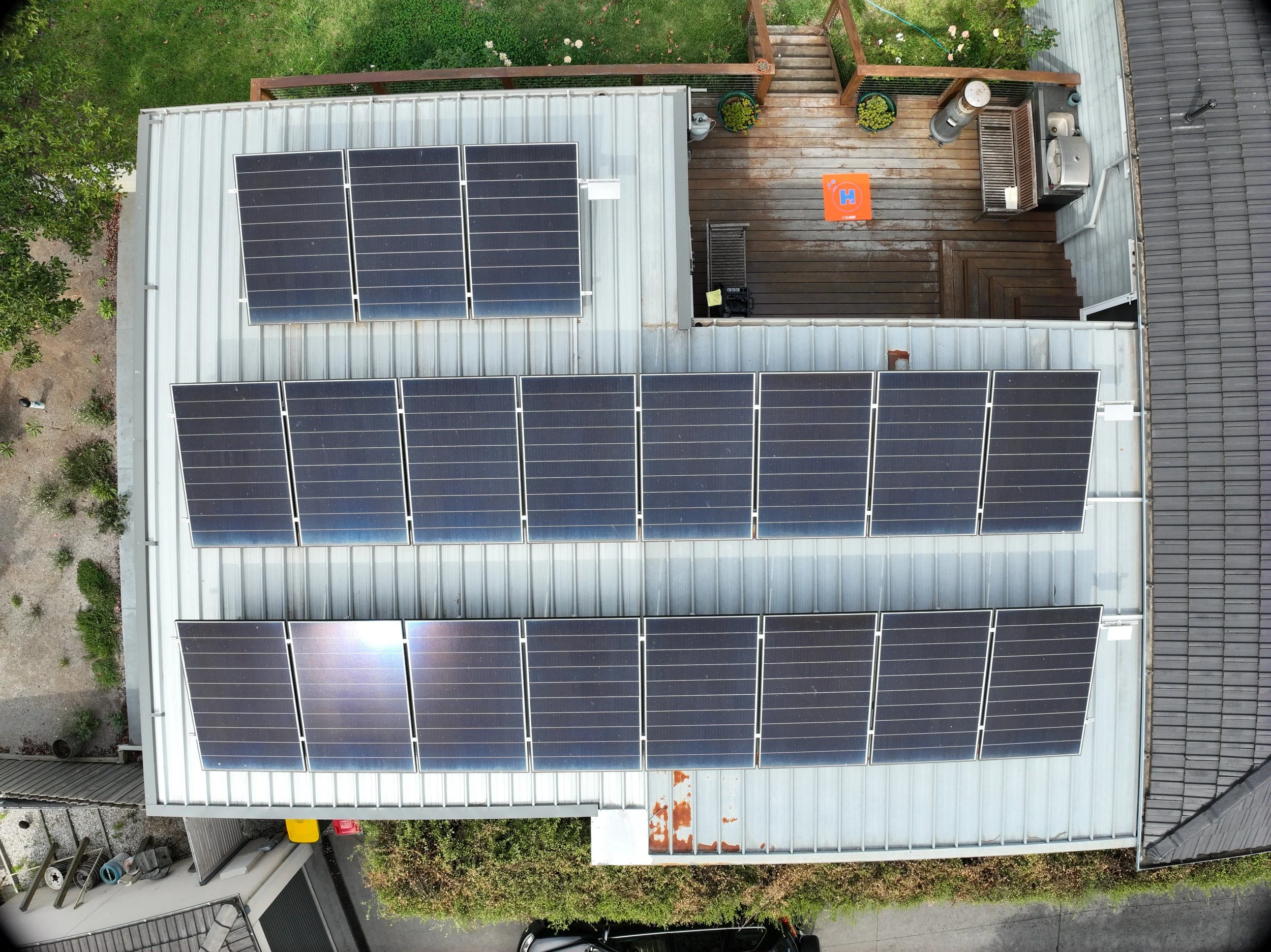
Aerial Survey
Precision starts from above—and drone photogrammetry delivers the accuracy and detail modern projects demand. Whether you're mapping complex roof structures, surveying construction sites, or creating accurate 3D models for design and planning, photogrammetry transforms aerial imagery into powerful, data-rich insights. By combining high-resolution drone captures with advanced modeling software, we turn real-world environments into digital assets that enhance decision-making, improve project outcomes, and give you a whole new perspective on your work.