

Our Services
Our drone pilots provide a wide range of services, from simple drone photography and videography to advanced photogrammetry for precise mapping and analysis. We also take care of post-editing to make sure your final product looks amazing.
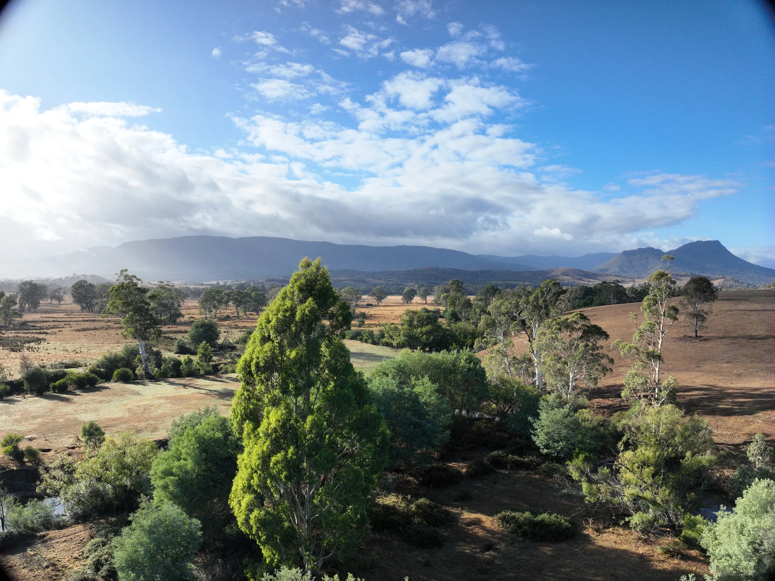
Aerial Photography
$85 per hour
$650 per day
Our base aerial photography rate is designed to provide flexible and tailored services to meet your specific needs. We work closely with you to ensure we capture the perfect images, whether you're seeking stunning visuals for marketing, real estate, or special events. Our professional drone pilots focus on delivering high-quality, precise shots that align with your vision, ensuring a seamless and personalized experience throughout the process.
Aerial Videography
$160 per hour
$1200 per day
Post editing - $100 per hour
Want to wow your audience with breathtaking aerial footage? Our drone videography services are here to help! Our advanced drones and expert pilots will capture stunning, high-resolution videos that showcase your subject from unique and exciting perspectives. Trust us to elevate your visuals and bring your vision to life!
Photogrammetry
Per Hour - $200
Per Day - $1500
Post Editing - $150 per hour
Want to turn real-world objects and spaces into super-detailed 3D models? Our professional photogrammetry services can help you with that! Whether you need scans for engineering, architecture, archaeology, gaming, or VR, we’ll give you accurate and visually stunning results. We use cutting-edge technology to capture all the tiny details and textures, so you’ll have ready-to-use 3D assets for your projects.
Pre-Flight Preparation & Safety
At Dingo Over Land Aerial Services, safety and compliance are at the core of every operation. Before any drone takes flight, our team conducts thorough pre-flight planning to ensure the highest standards of safety and professionalism.
Every job begins with a Job Safety Assessment (JSA), where we evaluate site conditions, identify potential hazards, and outline Threat and Error Management (TEM). We also handle all necessary permit applications and flight zone authorisations, including coordinating with local councils, CASA (Civil Aviation Safety Authority), and any other relevant authorities when required.
This careful preparation ensures our operations are fully compliant with aviation regulations and tailored to the specific requirements of each project site—keeping your project running smoothly and safely from start to finish.
Contact us
Interested in working together? Fill out some info and we will be in touch shortly. We can’t wait to hear from you!